
Treasure Coast · St. Lucie County
Fort Pierce Real Estate Investments
The Ligon Group evaluates Fort Pierce real estate investments across an established Treasure Coast city where historic neighborhoods, Downtown redevelopment, Lincoln Park, the Peacock Arts District, Indian River waterfront property, South Beach and a working port create distinctly different residential investment environments.
Fort Pierce property requires city-level due diligence. Municipal zoning, historic status, CRA geography, neighborhood context, existing improvements, waterfront conditions, flood exposure and renovation scope can materially change the appropriate strategy for an individual residential asset.
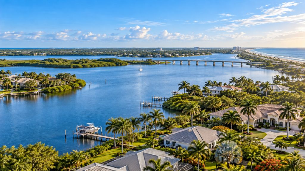
Historic Fabric · Redevelopment · Waterfront
Fort Pierce Is an Existing City Being Reinvested In—not a New City Being Built From Scratch.
Fort Pierce's residential investment environment is rooted in existing neighborhoods, historic architecture, established streets, older housing, waterfront geography and redevelopment districts that have evolved over decades.
The city has maintained a formal historic-preservation program since 2001 and recognizes six historic districts. At the same time, the Fort Pierce Redevelopment Agency operates across a broad redevelopment area that includes Downtown, neighborhoods west of 7th Street, the Port and South Beach.
Current public investment is not concentrated in one location. Downtown streets, Lincoln Park, the Peacock Arts District, waterfront public spaces and the western South Beach peninsula each have separate planning or redevelopment initiatives.
The Ligon Group therefore evaluates Fort Pierce residential property through the physical building, the governing parcel rules and the specific neighborhood or redevelopment system surrounding it.
City Market Structure
Four Fort Pierce Environments Create Different Residential Investment Priorities.
Historic urban neighborhoods, redevelopment districts, waterfront property and barrier-island housing should not be evaluated through one generic city model.
Existing Housing + Historic Context + Infill
Older Fort Pierce neighborhoods can combine residential renovation opportunities with historic resources, compact lots, existing infrastructure and neighborhood-specific development considerations.
Public Reinvestment Can Change the Context Around Existing Property.
Downtown, Lincoln Park, Peacock Arts and other FPRA areas combine neighborhood stabilization with streetscape, public-space, housing and redevelopment initiatives.
Waterfront Value Exists Beside a Working Marine Economy.
Fort Pierce's riverfront includes Downtown, marinas, public waterfront space, residential neighborhoods and active port uses, creating development edges that require property-specific analysis.
Barrier-Island Property Adds Coastal + Flood Conditions.
South Hutchinson Island residential property introduces ocean, inlet and river exposure together with elevation, floodplain, storm, shoreline and evacuation considerations.
City Jurisdiction · Future Land Use · Zoning
A Fort Pierce Mailing Address Is Not Enough to Establish the Governing Property Rules.
Property should first be confirmed as lying inside Fort Pierce municipal limits before city zoning assumptions are applied.
For property inside the city, the Planning Department directs owners and developers to review the municipal Future Land Use designation and zoning classification through the city's mapping and development systems.
Historic districts, special zoning, planned developments, redevelopment geography and coastal conditions can create additional layers beyond the base zoning district.
The Ligon Group therefore establishes jurisdiction and parcel rules before treating a renovation, addition, redevelopment or change in use as feasible.
Building + Neighborhood + Water + Capital
Historic Character or Waterfront Location Does Not Replace Residential Underwriting.
Fort Pierce contains strong neighborhood identities, but the individual asset still has to support the investment.
Older homes can require roof, electrical, plumbing, HVAC, window, structural, foundation, drainage or interior modernization. Historic designation can introduce a separate review path for exterior work.
Waterfront and barrier-island property can add elevation, shoreline, floodplain, wind and storm-resilience questions. Properties inside redevelopment districts may also sit beside active public infrastructure or streetscape projects.
The Ligon Group combines acquisition basis, physical condition, zoning, historic status, redevelopment context, permit history, water exposure, flood conditions and renovation scope before determining the appropriate investment strategy.
Six Historic Districts · Local Preservation Program
Fort Pierce Has a Formal Historic-Preservation System—not Just Older Buildings.
The city has operated a formal historic-preservation program since 2001 and recognizes six historic districts.
Fort Pierce participates in Florida's Certified Local Government program and maintains a Historic Preservation Ordinance, Historic Preservation Board, local register and tax-exemption program.
Properties subject to local historic review can require a Certificate of Appropriateness for applicable work, meaning exterior improvement strategy should be established before renovation assumptions become part of an acquisition budget.
Age alone does not determine regulation. The correct process is to verify the property's actual designation, district location and applicable local requirements.
Fort Pierce Redevelopment Agency
Fort Pierce Redevelopment Extends Well Beyond the Downtown Core.
The FPRA began with Downtown in 1982 and expanded over time to include additional neighborhoods, the Port and South Beach.
Historic Urban Core + Public-Realm Investment
Downtown combines historic buildings, commercial activity, residential uses, public waterfront space and active streetscape implementation.
Neighborhood Stabilization + Avenue D Reinvestment
Lincoln Park combines historic cultural significance with housing, infrastructure, streetscape and redevelopment work intended to strengthen the existing neighborhood.
Arts-Led Reinvestment + Historic Adaptive Reuse
The Peacock Arts District uses cultural identity, public art, historic resources and redevelopment projects to support reinvestment around an established residential area.
Working Waterfront Meets Long-Term Redevelopment.
Port and barrier-island redevelopment areas create a different interface between marine industry, public access, residential property and future waterfront investment.
Downtown Master Plan · Implementation
Downtown Fort Pierce Is Moving From Planning Into Street-Level Implementation.
Current projects show how the FPRA is translating its Downtown Master Plan into public-space and mobility improvements.
Pedestrian Priority Is Being Designed Into the Downtown Street Network.
Current concepts for Second Street emphasize a flexible, curbless environment with expanded pedestrian space, landscaping, shade, seating and lighting.
The Waterfront Public Realm Remains a Downtown Development Asset.
Marina Square planning is focused on a flexible waterfront destination that supports everyday use, recreation and events while strengthening the connection between Downtown and the Indian River.
Downtown Land Use Supports an Urban Mixed-Use Pattern.
Downtown planning includes higher-intensity mixed-use and pedestrian-oriented land-use concepts that differ from conventional detached residential neighborhoods.
Nearby Housing Should Be Evaluated With the Changing Public Realm.
Street reconstruction, public-space investment and new development can change access, walkability and surrounding use patterns without eliminating the need to underwrite the individual residential asset.
Lincoln Park · Avenue D · Neighborhood Reinvestment
Lincoln Park Is a Residential Reinvestment Story With Deep Cultural and Commercial Roots.
Avenue D was historically a major commercial and cultural center for Fort Pierce's African American community.
The city identifies the corridor as a thriving center of African American-owned shops, restaurants and entertainment during the mid-20th century. Current redevelopment work seeks to strengthen that historic neighborhood rather than erase it.
The FPRA's current Lincoln Park planning process includes housing, public amenities, neighborhood stabilization, infrastructure, infill development and redevelopment opportunities informed by community participation.
For residential investment, that makes neighborhood-scale compatibility and existing community conditions important alongside the physical house and acquisition basis.
Peacock Arts District · Adaptive Reuse
The Peacock Arts District Connects Historic Preservation With Active Redevelopment.
Fort Pierce is using public art, historic resources and adaptive reuse as practical redevelopment tools inside an established neighborhood.
A Restored 1914 School Is Anchoring a Larger Reuse Strategy.
Exterior restoration of Old St. Anastasia has been completed, preserving the historic building while preparing it for future adaptive use.
Adaptive Reuse Is Being Planned With Surrounding Parcels.
The finalized master plan addresses reuse of the historic building, surrounding property, public gathering space, parking, preservation and phased redevelopment.
Creative Placemaking Extends Beyond a Single Building.
Fort Pierce continues to use murals, streetscape work, landscaping and arts programming to reinforce the district's visual identity.
Arts-District Branding Does Not Replace Parcel Due Diligence.
Homes within or near the district still require normal zoning, permit, condition and renovation analysis even as surrounding public and private investment increases.
Port Overlay · Working Waterfront · Public Access
Fort Pierce's Waterfront Is Both Residential Amenity and Working Infrastructure.
The Port of Fort Pierce creates a land-use environment unlike a purely recreational waterfront.
In 2025 the city established a Port Overlay District intended to create a clearer development-approval framework for the Port while preserving compatibility with underlying Future Land Use.
The Port itself remains an active working-waterfront environment, and the current 2026 Port Master Plan update continues to build on the adopted 2020 plan with emphasis on compatibility, environmental stewardship and public access.
Residential property near the waterfront should therefore be evaluated with surrounding marine uses, traffic, access, redevelopment plans and shoreline conditions rather than assuming all riverfront land operates the same way.
South Beach · Western Peninsula
Relocation of Major Infrastructure Is Creating a Long-Term Waterfront Planning Opportunity.
The planned relocation of the island wastewater treatment plant has allowed Fort Pierce to study a new long-term vision for part of the western South Beach peninsula.
A Major Existing Utility Site Is Expected to Change Function.
The Western Peninsula planning process began in anticipation of relocating the existing wastewater treatment plant from its barrier-island location.
Future Planning Emphasizes Better Connection to the Waterfront.
The conceptual plan explores expanded public access, connectivity and compatible private investment along the western peninsula.
Waterfront Redevelopment Is Being Considered With Long-Term Coastal Conditions.
Resilience is part of the conceptual planning framework, reflecting the site's barrier-island and waterfront exposure.
A Conceptual Vision Is Not the Same as an Approved Development Project.
The FPRA acknowledged the Western Peninsula plan as a guide for future decisions; that action did not authorize immediate implementation of the conceptual redevelopment program.
Floodplain · Elevation · CRS Class 6
Fort Pierce Treats Flood Management as an Ongoing Municipal Responsibility.
Waterfront and low-lying property should be evaluated using property-specific flood and elevation information.
Fort Pierce participates in FEMA's National Flood Insurance Program and maintains a Community Rating System program that exceeds minimum federal floodplain-management requirements.
In 2026 the city submitted its annual CRS recertification while maintaining a Class 6 rating. The city also provides flood maps and available elevation certificates to support property-level risk analysis.
For residential investment, FEMA zone, Base Flood Elevation, finished-floor elevation, substantial-improvement rules, shoreline conditions and actual site drainage should all be evaluated where applicable.
Acquisition Through Ownership
Neighborhood Knowledge Matters Only When It Connects Back to the Residential Asset.
The Ligon Group connects Fort Pierce history, zoning, redevelopment, waterfront and flood context with residential acquisition, renovation and real-property activity.
Start With the Individual Property.
Condition, acquisition basis, lot configuration, ownership circumstances and existing improvements determine whether an opportunity supports deeper analysis.
Residential Acquisitions →Historic + Redevelopment Context Can Change Execution.
Zoning, historic status, CRA geography, permit history, waterfront conditions and flood exposure can materially affect the property strategy.
How We Evaluate Properties →Older Housing Can Require Coordinated Building + Site Work.
Renovation may involve major systems, structural work, exterior improvement, drainage and flood-compliance considerations in addition to interior modernization.
Renovation & Repositioning →Market Analysis Should Connect to Real Estate Execution.
Portfolio and project activity connects market analysis with residential property The Ligon Group has acquired, improved, owned or operated.
Portfolio & Projects →Fort Pierce Real Estate FAQs
Direct Answers About Fort Pierce Real Estate Investments
Residential acquisition, historic-property, redevelopment, waterfront and flood answers for Fort Pierce, Florida.
Does The Ligon Group invest in Fort Pierce real estate?
Yes. The Ligon Group evaluates residential acquisition opportunities in Fort Pierce as part of its St. Lucie County and broader Treasure Coast investment geography.
Does Fort Pierce have historic districts?
Yes. The city maintains a formal historic-preservation program and recognizes six historic districts in addition to individually documented historic resources.
What is the Fort Pierce Redevelopment Agency?
The FPRA is the city's redevelopment agency. It began with Downtown and was later expanded to cover additional neighborhoods, the Port and South Beach.
Is Lincoln Park part of Fort Pierce redevelopment planning?
Yes. The city and FPRA are actively developing a Lincoln Park master-planning framework focused on housing, amenities, Avenue D, neighborhood stabilization and reinvestment.
What is the Peacock Arts District?
It is a Fort Pierce redevelopment and arts district where public art, neighborhood investment and historic adaptive reuse—including Old St. Anastasia—are being used to support long-term revitalization.
Is the Port of Fort Pierce still a working port?
Yes. The Port remains an active marine and working-waterfront environment, and its current planning framework addresses marine activity, redevelopment, environmental stewardship, compatible uses and public access.
Should flood and elevation conditions be checked for Fort Pierce property?
Yes. The city participates in FEMA's NFIP and CRS programs and provides parcel-level flood and elevation resources. Waterfront and Special Flood Hazard Area properties warrant additional review before substantial renovation.
Can owners and real estate professionals submit Fort Pierce properties?
Yes. Owners, agents, brokers, attorneys, representatives, wholesalers and other professional sources can submit residential property opportunities to The Ligon Group for consideration.
St. Lucie County + Treasure Coast Markets
Compare Fort Pierce With the County and Nearby Treasure Coast Markets.
Fort Pierce's historic urban and waterfront character differs sharply from Port St. Lucie's expansion-oriented residential environment.
St. Lucie County
The county page focuses on jurisdiction, unincorporated Future Land Use, rural-growth systems, stormwater, environmental review and regional resilience.
St. Lucie County Real Estate →Port St. Lucie
Port St. Lucie is defined by the original GDC pre-platted city, existing single-family housing and later expansion through Tradition and other master-planned western areas.
Port St. Lucie Real Estate →Martin County
Martin County uses a controlled-growth framework centered on Urban Service Districts, community redevelopment areas, environmental preservation and shoreline conditions.
Martin County Real Estate →Treasure Coast
Explore the broader investment geography connecting Martin, St. Lucie and Indian River counties.
Treasure Coast Real Estate →Fort Pierce Property Opportunities
Have a Residential Property in Fort Pierce?
Submit the property information currently available. The Ligon Group can evaluate the opportunity in the context of its physical condition, municipal zoning, historic status, CRA geography, neighborhood conditions, waterfront and flood exposure, permit history, renovation requirements, transaction circumstances and potential investment strategy.